

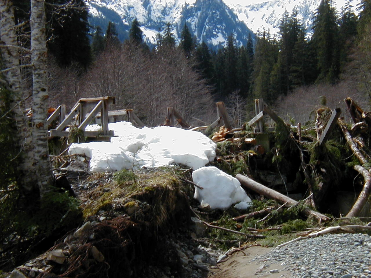


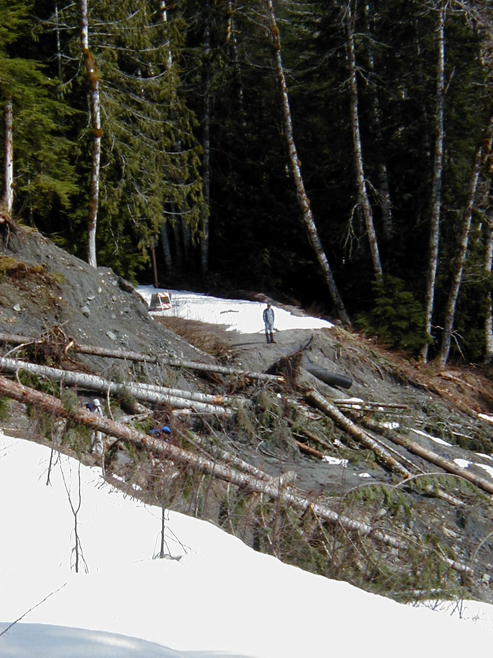
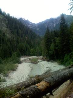
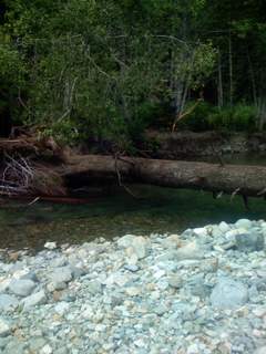
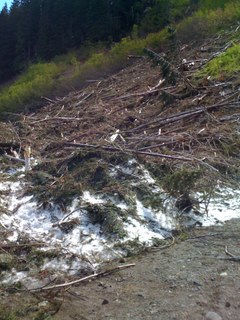
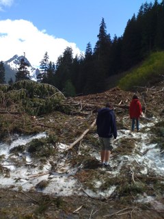

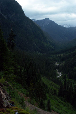
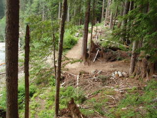
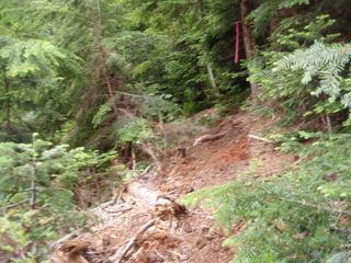
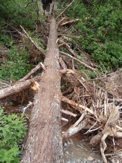
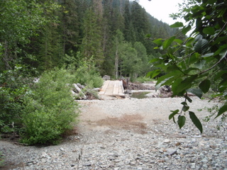
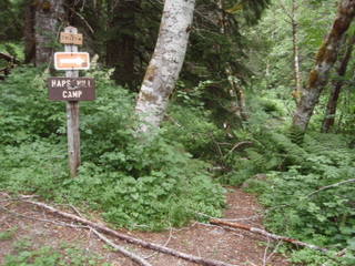
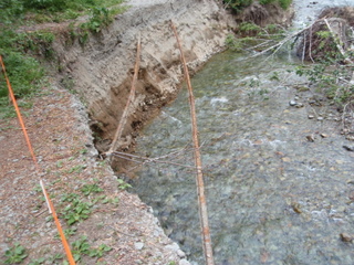
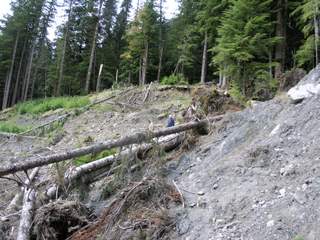
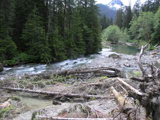
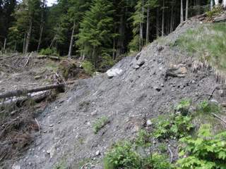
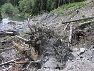
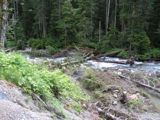
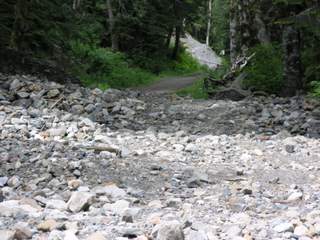
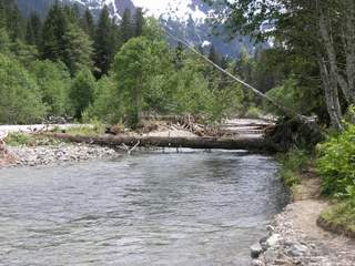
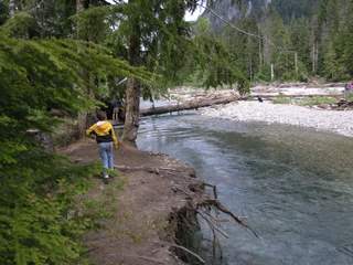
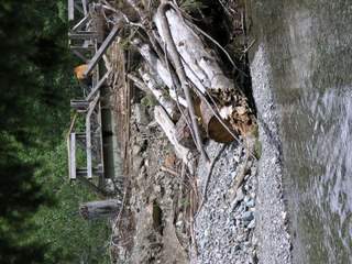
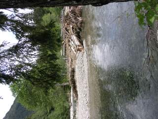
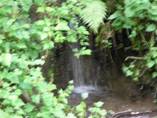
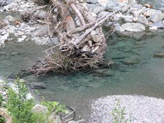
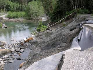
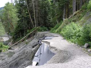
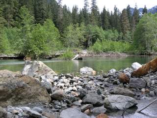
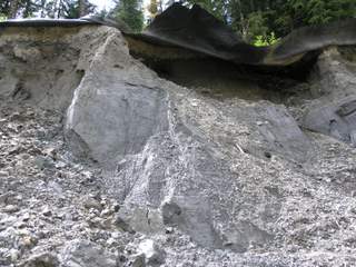
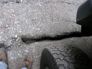
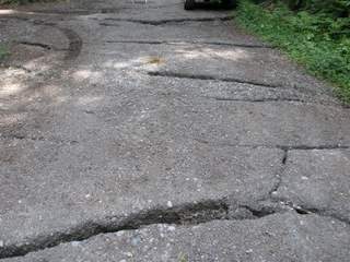


The Weden Creek trail to Gothic Basin takes off to the right just before the crossing.Between Twin Bridges and Hap’s Hill note the interpretive signage for Weden House, the location of facilities along the railroad for mining activities in Gothic Basin and Weden Creek in the early 20th century.At M.P. 2 there are small camping sites at Hap’s Hill Campground, along with a pit toilet. Following flood damage in 1949 the road was relocated away from the flood plain, rejoining it farther upstream. Hap’s Hill was named for H.A. “Happy” Annen, whose efforts in the early 1950s led to creation of the Forest Service campground at Monte Cristo and the state park at Mt. Pilchuck.Recent erosion along the road has exposed remnants of the railroad track in two locations between M.P. 2 and 3. While ties and rails just below the roadway at Sylvan Creek are harder to spot, the first section with its hanging rails can be a surprise to bikers and those traveling in dim light. Be aware of this hazard and bypass it.Between M.P. 3 and 4 the road cuts through the only switchback on the railway, the old roadbed cutting back at an acute angle. The county road makes its final hill and passes through private property from here to the town. These are patented mining claims dating back to the 1890s, as is the land on which the townsite was laid out.Atop the hill, the road and railway grades reunite and continue along the last narrow cut to the South Fork Sauk River. To the left, the Mine to Market Road branches off and to the Monte Cristo Campground. Straight ahead and across the bridge lies the town, located at the junction of Glacier and 76 Creeks, the headwaters of the Sauk River. The ridge dividing them rises up to Wilmans Peak (6880′) and Spires.
Forest Service cabins and the old power house which once belonged to the Monte Cristo resort are to the right of the open area. Cabin #2 is the townsite host location, where volunteers, in a joint program between the MCPA and Forest Service, are available during most days for information and assistance. The original 1893 railroad turntable to the right still revolves.
Trails to Glacier Basin to the left and Silver/Twin Lakes to the right in the Henry M. Jackson Wilderness begin at the upper end of the parking lot/railroad yards area straight ahead. Crossing the footbridge to the left across 76 Creek takes you to Dumas Street, the main business section of the town, where you will find more interpretive signage. (Brochures are available at the bulletin board to your right by the remains of the former lodge (1917-1983) before you cross either bridge.)
Keep in mind that property along Dumas Street and many of the other townsite lots and bordering mining claims are privately owned. Federal laws protect buildings and artifacts which may be present. Please enjoy the setting and remains of this once vibrant mining center, but leave what is left for others also to see.
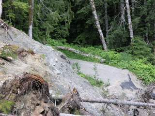
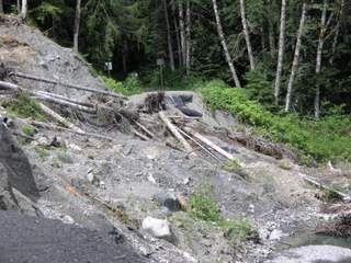
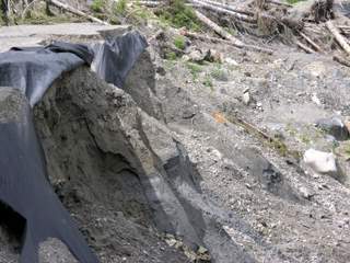
With the impending hazardous materials cleanup, you may wish to visit Monte Cristo sooner rather than later. We expect historical sites and remains as well as the existing landscape to be altered significantly by those actions. Restrictions on access also are likely during the cleanup years.
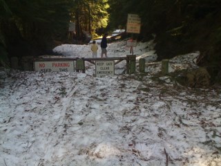
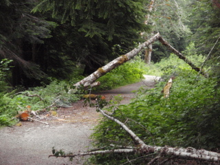
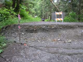
Note: As access is via county road, all road rules apply. You may expect horses and llamas, plus occasional motorized vehicles belonging to private landowners, MCPA members, government agencies, and others authorized to have a gate key. Bicyclists should be especially alert for hikers (and vice versa). For those starting in the afternoon, give yourself ample time to return during daylight hours. Darkness comes quickly in the mountains.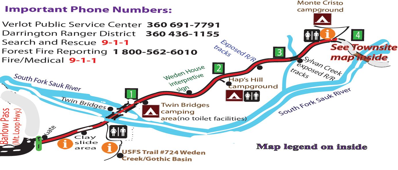
The information listed below is updated, provided by and the property of the USFS and presented only as a courtesy by the Monte Cristo Preservation Association. The MCPA assumes no liability or responsibility for the accuracy of these descriptions or conditions of the trails/hikes/maps listed below.
USFS Mount Baker-Snoqualmie National Forest trail/campground overview map.
Old Government Trail #733
Barlow Point Trail #709
Old Monte Cristo Townsite
Weden Creek Trail (Gothic Basin) #724
Poodle Dog Pass – Silver Lake – Twin Lakes Trails #708
Glacier Basin Trail #719